


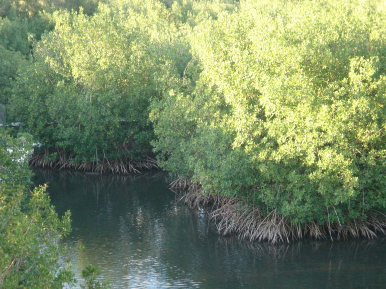
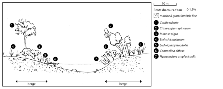
Type 1
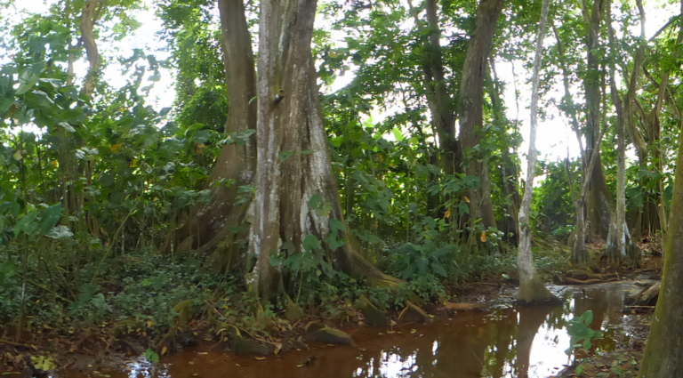
Mangrove
Altitude: <5 m
Largeur du cours d’eau (lame basse) : Variable
Gradient: No or low gradient (0 to 1%)
Current: Usually slow
Salinité : (>1g/L)
See document
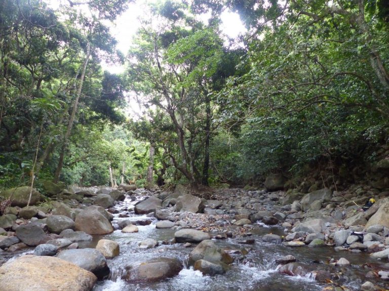
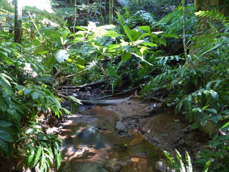
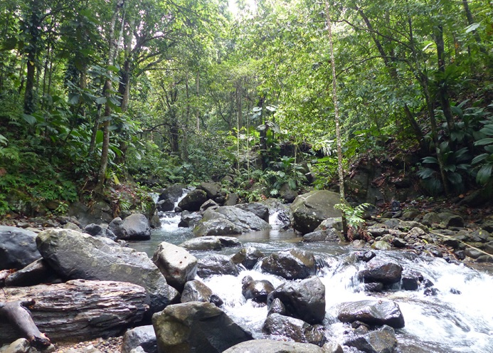
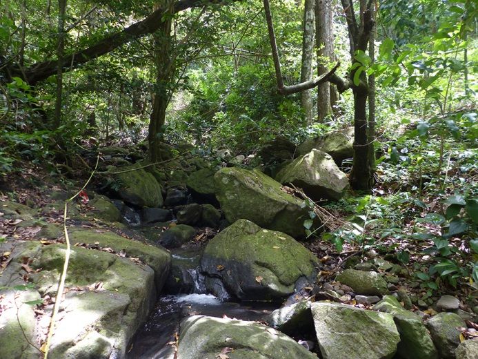
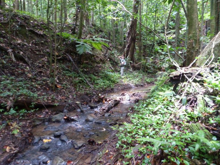
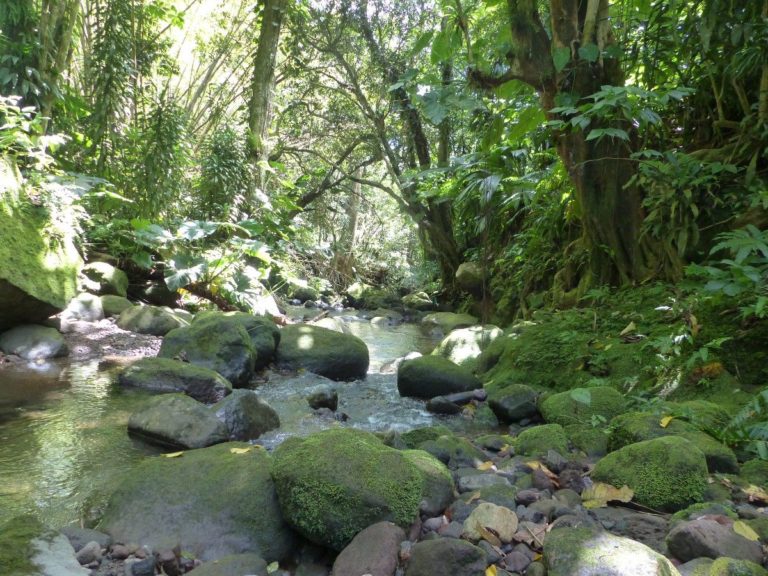
Riparian areas are the wooded strips along watercourses and constitute specific ecosystems at the interface between terrestrial and aquatic environments.
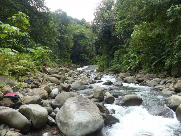
Phase 1 of the project " PROTEGER " has improved knowledge of the structure and functioning of ecosystems bordering watercourses.
This study was financed by the Guadeloupe Water Office, La Déal, the Guadeloupe Region and the Guadeloupe National Park. It was carried out by the group: National Forestry Office, BRGM and the TAUARI design office.

Under the pressure of numerous anthropic factors, watercourses and more particularly their riparian areas are affected by the massive invasion of alien species . During phase 1 of the project PROTEGER , 75% of Basse-Terre inventoried riverbanks are home to invasive alien species.
Some species, classified as invasive, threaten the balance of aquatic and riparian ecosystems.
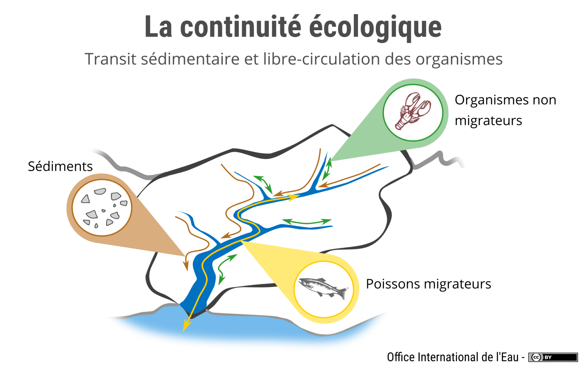
The functionality of some watercourses may be degraded due to structures across watercourses or along the banks.
These structures have harmful effects on the ecological continuity of ecosystems: bank artificialization modifies sediment transport, reduces riparian areas’ filtering functions , hinders the movement of migratory species, etc.
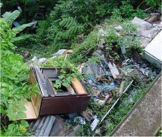
Many watercourses are polluted by chemical substances, including pesticides - especially chlordecone and glyphosate. Fragmentation of riparian ecosystems and destruction or degradation of riparian areas along watercourses facilitate the transfer of chemical substances, passing directly from agricultural plots into the heart of watercourses. In addition, large amounts of waste worsen the situation: household waste, tires, domestic pollution, etc., clearly hampering the reconstitution of riparian areas and the good state of water environments.
More about water quality in Guadeloupe >Guadeloupe has a dense hydrographic network: 55 perennial watercourses, 4 canals, more than 350 gullies, 3,000 waterholes and a dozen ponds!
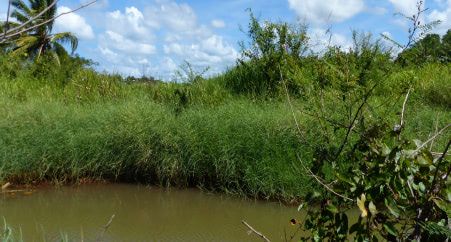
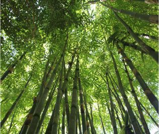
The vegetation along watercourses, or riparian area, enjoys remarkable biodiversity, and is home to more than 1,700 native species of trees, shrubs and herbaceous plants that play an essential role in maintaining the banks.
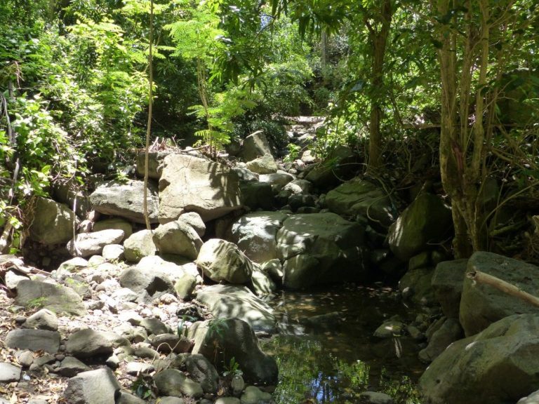
The proper functioning of a watercourse depends in part on the good ecological condition of its riparian area. Unfortunately, Guadeloupe watercourses and their low-lying riparian areas are sometimes in an alarming state of degradation. Many species are threatened with extinction, for various reasons.
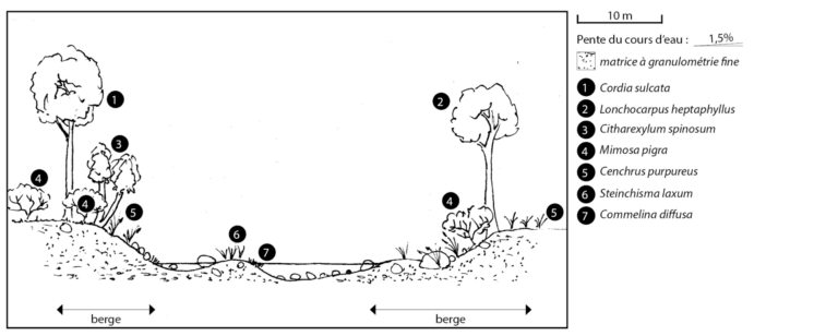
Type 1
See document
Type 2
See document
Type 3
See document
Type 4
See document
Type 5
See document
Type 6
See document
Type 7
See document
Type 8
See document
Type 9
See document
Type 10
See document
Type 11
See document
Type 12
See document