Type 5
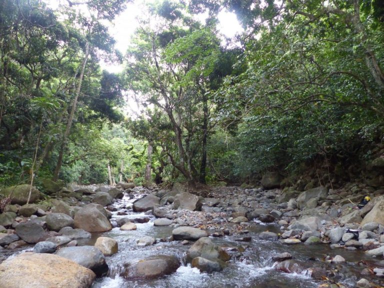
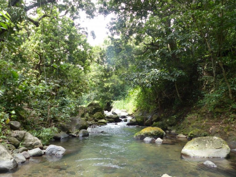
The watercourse has an average gradient, has coarse grain size, with the predominant presence of boulders. The water is fresh, generally lightly loaded. The watercourse is narrow enough so that the tree crowns touch each other in places. Aggradations are rare and coarse and little or no herbaceous plants. The environment is forested. The banks are no longer clear and are extended by the hillsides framing the watercourse.
Connection of riparian areas (if intact): Partial
Altitude: <100 m (ici : 50-100 m)
Watercourse width (low): 10-20 m
Grain size (banks and bed): Stones and, above all, boulders (rocks present)
Gradient: Average : 3.3% (1-11%)
Current:
Usually medium to fast
Banks: 31° (6°-67°)
Salinity:
<1 g/L
Ten-year daily rainfall: 166 to 222 mm
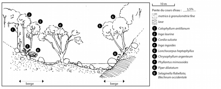
Tree species : Inga ingoides, Calophyllum antillanum, Chrysophyllum argenteum, Cordia sulcata, Inga laurina, Annona glabra, Lonchocarpus heptaphyllus, Sterculia caribaea, Ficus insipida, Simarouba amara, Eugenia axillaris, Myrcia sp., Mangifera indica, Syzygium jambos. Shrub species : Piper dilatatum (if sufficient humidity), Pachystachys spicata. Herbaceous species : Selaginella flabellata, Blechnum occidentale, Thelypteris tetragona, Clidemia hirta.