Type 11
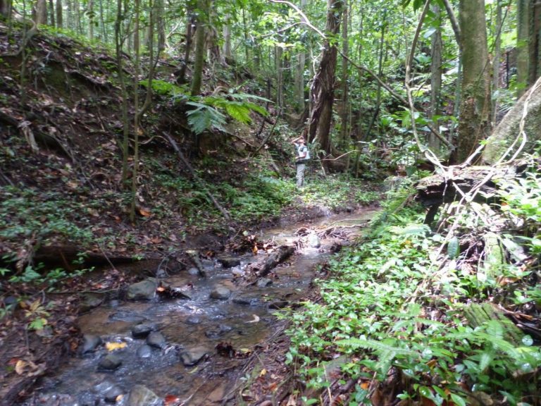
The watercourse has an average gradient, has fine and coarse grain size (lava sometimes present). The water is fresh, limpid. The watercourse is narrow, the canopy is continuous and the environment is totally forested. The banks are overlooked by the hillsides framing the watercourse, with fairly steep gradients (fairly deep watercourse). Note: type seen on a single station, found on high altitude plateaus
Connection of riparian areas (if intact): Total
Altitude: >300 m (here : 402-410 m)
Watercourse width (low): <5 m
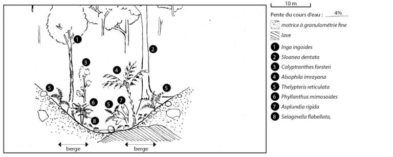
Grain size (banks and bed): fine, with stones (sometimes boulders coming From the gradients)
Gradient: Moyenne : 4% (1-11%)
Current:
Usually fast
Banks: 39° (20°-45°)
Salinity:
<1 g/L
Ten-year daily rainfall: 212 mm
Tree species : Inga ingoides, Calyptranthes forsteri, Tapura latifolia, Myrcia deflexa, Sloanea dentata, Prestoea montana. Shrub species : Alsophila imrayana, Faramea occidentalis, Phyllanthus mimosoides. Herbaceous species : Selaginella flabellata, Thelypteris reticulata, Asplundia rigida.