Type 10
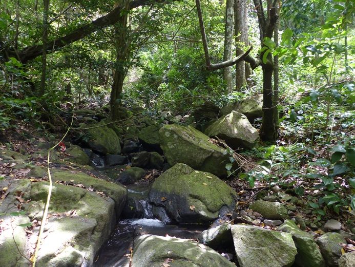
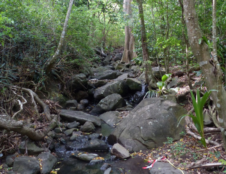
The watercourse may be intermittent. It has a very steep gradient (>10%), with very coarse grain size, including many boulders and rocks). The water is fresh and lightly loaded. The watercourse is very narrow, under a continuous canopy with a totally forested environment. The banks merge into the gradients framing the watercourse, with steep gradients (deep watercourse). Type: only seen in xerophilic zone.
Connection of riparian areas (if intact): Total
Altitude: 125-300 m (ici 116-245 m)
Watercourse width (low): <10 m
Grain size (banks and bed): Very coarse: boulders and rocks
Gradient: Steep: 15% (8-21%)
Current:
Very variable
Banks: 28° (14°-45°)
Salinity:
<1 g/L
Ten-year daily rainfall: 150 to 189 mm
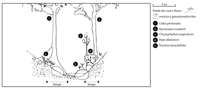
Tree species : Chrysophyllum argenteum, Tabebuia heterophylla*, Ceiba pentandra, Cedrela odorata*, Hymenaea courbaril, Lonchocarpus punctatus*, Garcinia humilis, Myrcia deflexa, Pisonia fragrans, Mangifera indica, Terminalia catappa*, Cocos nucifera Shrub species : Piper dilatatum, Faramea occidentalis Herbaceous species : Tectaria heracleifolia, Oplismenus hirtellus, Tradescantia spathacea, Oeceoclades maculata