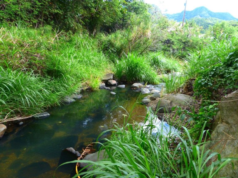
Type 7
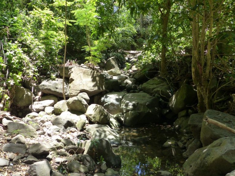
The watercourse may be intermittent. It has a steep gradient (= it descends), with mostly coarse grain size, including many boulders and rocks; lava often present). The water is fresh, generally lightly loaded. The watercourse is narrow, the canopy is continuous and the environment is totally forested. The banks are no longer clear and merge into the hillsides framing the watercourse with very steep gradients (deep watercourse).
Connection of riparian areas (if intact): Total
Altitude: <100 m (ici : 10-116 m)
Watercourse width (low): <10 m
Grain size (banks and bed): Coarse, with boulders and rocks
Gradient: Steep: 7.9% (1-20%)
Current:
Usually fast (but very sporadic)
Banks: 36° (6°-90°)
Salinity:
<1 g/L
Ten-year daily rainfall: 132 to 198 mm
Tree species : Tabebuia heterophylla*, Hymenaea courbaril, Calophyllum antillanum, Chrysophyllum argenteum, Homalium racemosum, Garcinia humilis, Lonchocarpus punctatus*, Citharexylum spinosum*, Artocarpus altilis, Melicoccus bijugatus*, Cocos nucifera, Mangifera indica. Shrub species : Piper dilatatum, Piper hispidum, Faramea occidentalis, Pachystachys spicata, Dalbergia ecastaphyllum. Herbaceous species : Blechnum occidentale, Tectaria heracleifolia, Blechnum lherminieri, Nephrolepis rivularis, Cenchrus purpureus.