Type 1
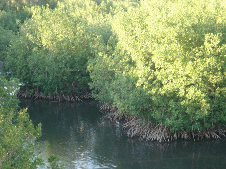
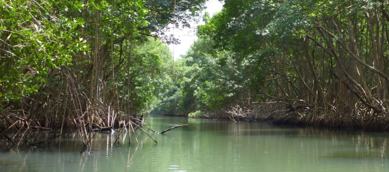
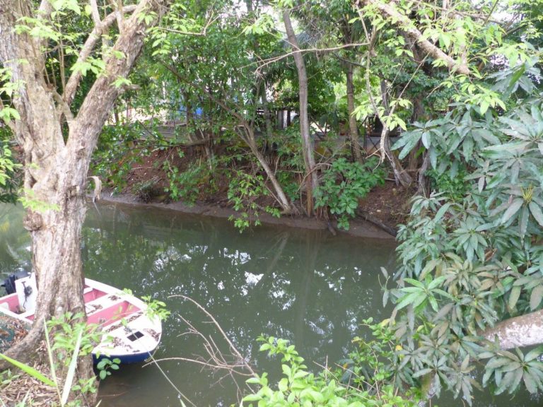
The watercourse has zero gradient and elevation, has fine grain size, and the water is brackish, often turbid. The environment is forested. The connection of riparian areas, the width of the watercourse or the presence of banks are variable. The presence of mangroves is indicative. Type absent from the leeward coast and south of Goyave.
Connection of riparian areas (if intact): Zero to total
Altitude: <5 m
Watercourse width (low): Variable
Grain size (banks and bed): Fine
Gradient: No or low gradient (0 to 1%)
Current:
Usually slow
Banks: Present or not, often floodable, average gradient 7.5 ° (0-45 °)
Salinity:
(>1g/L)
Ten-year daily rainfall: 151 to 153 mm
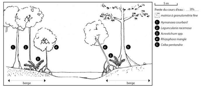
Tree species: Rhizophora mangle, Laguncularia racemosa. Top of bank: Ficus citrifolia, Hymenaea courbaril, Ceiba pentandra, Margaritaria nobilis, Cocos nucifera, Terminalia catappa. Shrub species: Acrostichum spp., Pachystachys spicata. Herbaceous species: Steinchisma laxum.