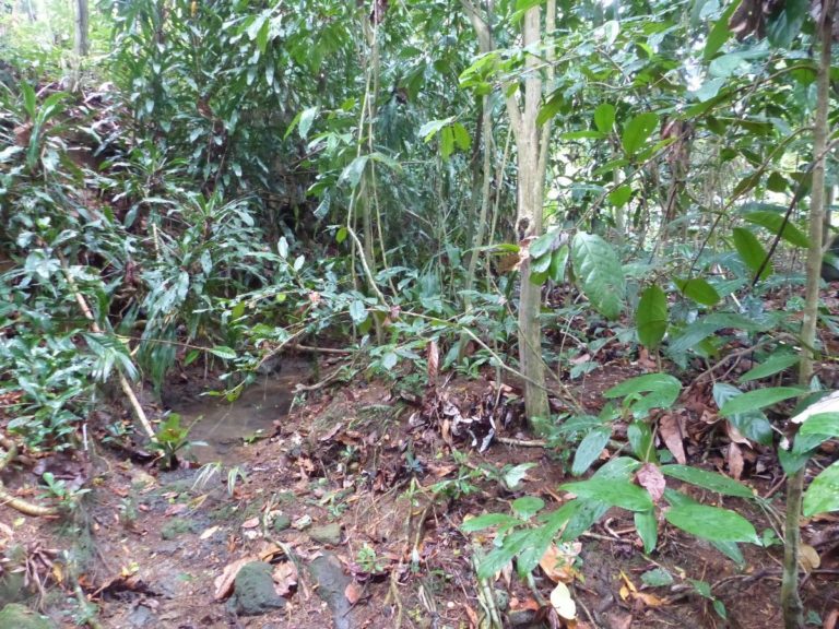
Type 6
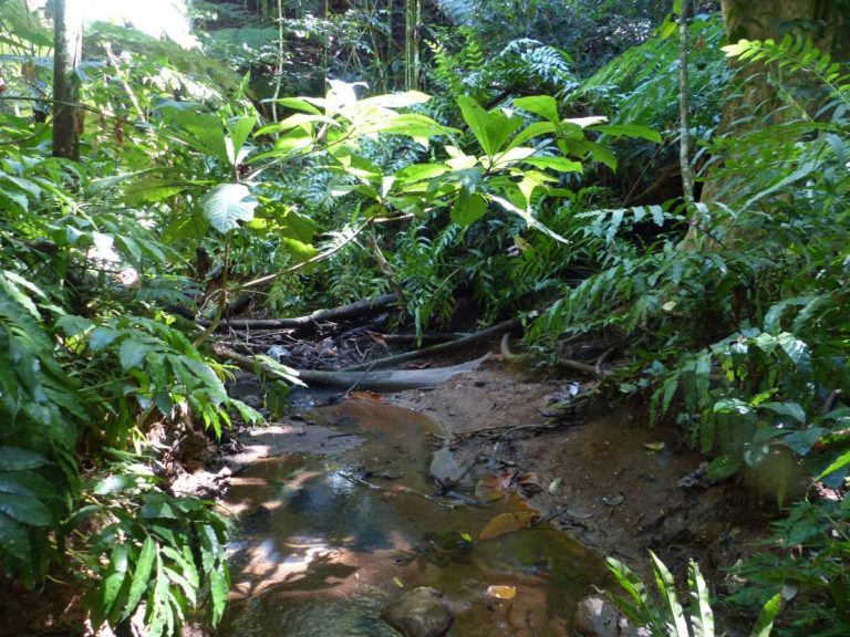
The watercourse has an average gradient, has fine and coarse grain size (lava sometimes present). The water is fresh, generally lightly loaded. The watercourse is narrow, the canopy is continuous and the environment is totally forested. The banks are no longer clear and merge into the hillsides framing the watercourse, with fairly steep gradients (deep watercourse).
Connection of riparian areas (if intact): Total
Altitude: <100 m (ici : 32-120 m)
Watercourse width (low): <5 m
Grain size (banks and bed): Fine, with stones, (sometimes boulders and rocks coming from the gradients)
Gradient: Average: 4.9% (1-17%)
Current:
Usually low to medium
Banks: 42° (16°-70°)
Salinity:
<1 g/L
Ten-year daily rainfall: 155 to 200 mm
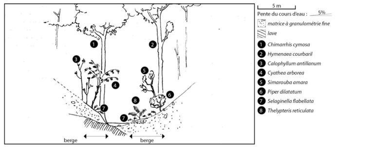
Tree species : Calophyllum antillanum, Chimarrhis cymosa, Hymenaea courbaril, Protium attenuatum, Sterculia caribaea, Simarouba amara, Cecropia schreberiana, Syzygium jambos, Artocarpus altilis, Mangifera indica, Bambusa vulgaris Shrub species : Piper dilatatum, Cyathea arborea, Psychotria mapourioides, Clidemia umbrosa, Dracaena fragrans Herbaceous species : Thelypteris reticulata, Selaginella flabellata, Ischnosiphon arouma, Adiantum latifolium, Dieffenbachia seguine.